
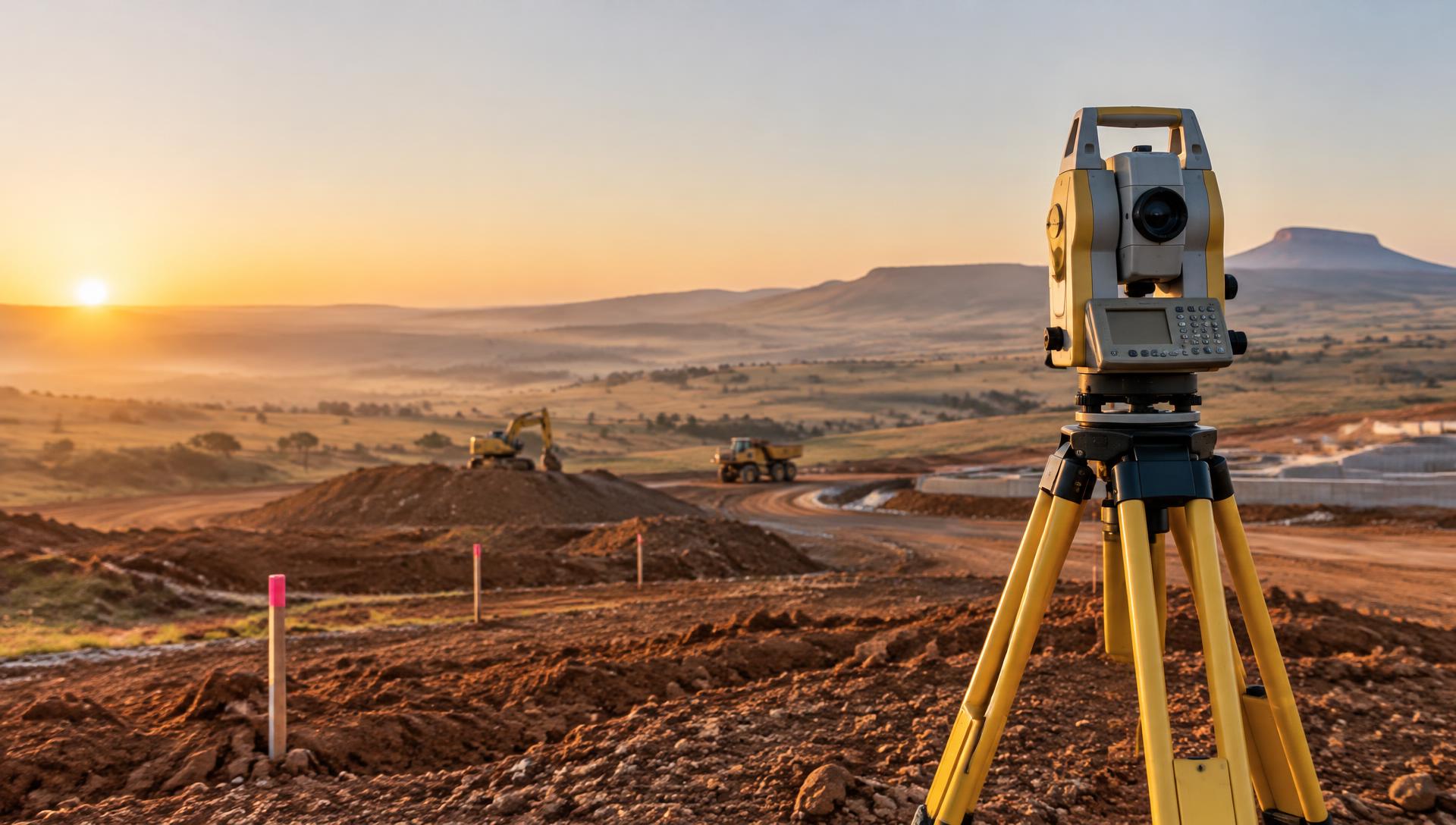
Precision | Reliability | Results
Accurate data.Real solutions.
MPJ Surveys is a professional surveying company delivering accurate, reliable and efficient spatial data solutions across a wide range of industries.
What we do
Our services.
- ES-01Engineering surveysEngineering-grade survey data that supports design from the outset and verifies what was built.
- CS-02Construction surveysSurvey support on site from the first pegs through to project handover.
- AG-03Agricultural surveysAccurate mapping and levels that help farms plan, irrigate and develop land.
- PL-04Power line surveysCorridor and route data for planning, building and maintaining power lines.
- TM-05Tailing dam and mine surveysMeasurement and monitoring that supports safe operations, planning and compliance.
- DL-06Drone and LiDAR solutionsFast, detailed capture of large or hard-to-reach areas from the air.
 Illustrative
How we work
Clear scope. Checked data. No surprises.
- 01
Brief
You tell us about the site, the purpose of the survey and your deadline.
- 02
Scope and quote
We confirm what's needed, the deliverables and a fixed price where possible.
- 03
Field work
Our team captures the data on site with calibrated instruments and checks.
- 04
Delivery
You receive checked drawings and data files in the formats you need.
Who we work with
Land, mining, energy and more.
Land
Mapping and topographic data for planning, development and land management.
Infrastructure
Control, design support and as-built verification for roads, services and power lines.
Mining
Volumes, stockpiles, tailing dam monitoring and compliance surveys.
Agriculture
Farm mapping, irrigation design and precision agriculture data.
Energy
Route and corridor surveys, tower setout and clearance measurements.
Construction
Setting out, machine control support, progress monitoring and final as-builts.
Have a site that needs surveying?
Tell us where it is, what you need and when. We'll come back with a clear scope and quote.